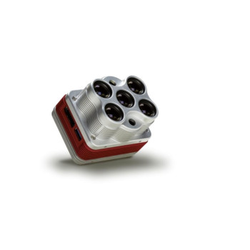
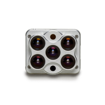
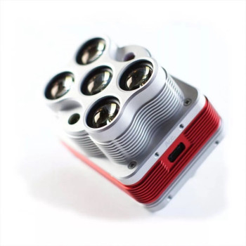
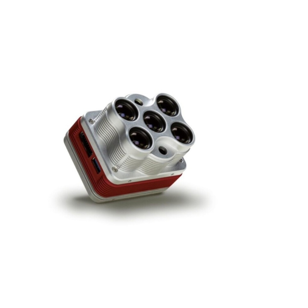
MICASENSE MULTI ESPECTRAL CAMERA ALTUM THERMAL
- Código: 333443
- Marca: MICASENSE
- Estoque: Indisponível
-
$8.999,99
Não fazemos entregas fora do paraguai
Preços informados são em Dólares americanos, não incluem IVA e podem variar sem prévio aviso.
Linha de Brinquedos testados não possui Garantia.
Produtos em Promoção e Abaixo do Custo não possuem Troca nem Devolução.
- Altum integrates a radiometric thermal camera with five high-resolution narrow bands, producing advanced thermal, multispectral and high-resolution imagery in one flight for advanced analytics.
Altum kit comes with: Altum sensor, lens cover, external storage device (USB 3.0) - 128 GB, calibrated reflectance panel, new DLS 2 light sensor with integrated GPS, cables, mounting screws, hard carrying case.


Altum easily integrates with your workflow

FLY using Atlas Flight or Pix4Dcapture to plan your mission and configure the camera

PROCESS with software like Pix4Dmapper or Agisoft PhotoScan. Or create your own tools using our github tutorials.

ANALYZE calibrated and aligned outputs in whichever software works for you.
Discover the power
of layers
Scroll through the high-res RGB, multispectral, and thermal images below and discover not only pre-existing irrigation leaks, but new leaks in this Washington vineyard.


Image above shows pumpkins and a standard sized wheelbarrow for context.
More detail from
400 ft.
Five high-resolution lenses mean you get detailed plant health imagery (5.2 cm GSD) and detailed Digital Surface Models all from 400 ft.
Optimized for drones, Altum is ready to integrate.
Ready for Your Drone
Open API’s and multiple interface options mean that Altum can work with a wide variety of drones. To integrate Altum, work with our integration partners or view our available integration kits.
Altum for DJI SkyPort
A plug and play integration right out of the box, Altum is available with the DJI SkyPort, enabling seamless integration with the DJI Matrice 200 series professional drones.
DLS 2
Altum comes with DLS 2, our next generation light sensor. With cutting-edge technology for irradiance and sun angle measurements, it provides more accurate, reliable data, substantially improves radiometric accuracy, and greatly reduces post-processing time.
And, because it also contains an integrated GPS, setup with any aircraft is streamlined.

Altum: 357 g (12.6 oz)
DLS2: 49 g (1.73 oz)
Wi-Fi Adapter: 2 g (0.07 oz)
USB stick: 9 g (0.32 oz)
(3.2 in x 2.6 in x 2.5 in)
81 cm per pixel (thermal) at 120 m
2x USB 3.0 SuperSpeed ports for WiFi or Ethernet and USB 3.0 Storage
57° x 44° (thermal)
1.77 mm (thermal)
**capture rates vary based on write speed of USB storage device
Benefits Recap:
-
Capture aligned high-resolution, multispectral, and thermal imagery using only one sensor. Generate analytics for phenotyping, irrigation, and plant health from one data set.
-
Improved resolution means more accurate digital surface models, easier stitching at lower altitudes, and better plant classification and plant counting.
-
High-capacity USB storage means you can fly longer and cover more acreage. No more changing SD cards!
-
Fast capture rate enables faster flight speeds and lower flight altitudes.
-
Communication and triggering options allow for a customized integration; choose the configuration that best suits your project.
-
Standard 16 bit TIFF file ouputs give you full access to raw data so you can process it on the platform of your choosing.
-
DLS 2 features enhanced reflectance calibration, and combined GPS and DLS to simplify integration.
" data-provider-name="YouTube">


 R$
R$  G$
G$ 


